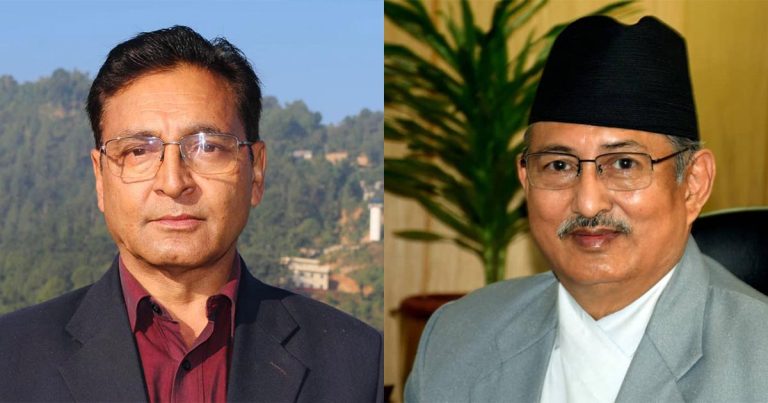
Foreign Ministry Clarifies PM’s Border Remarks
Foreign Ministry says the Prime Minister’s comments were linked to cross-border land use and technical boundary issues, not any change in Nepal’s territorial position.


The Ministry of Foreign Affairs has issued a formal clarification after public discussion intensified over Prime Minister Balendra Shah’s recent remarks in Parliament concerning the Nepal-India border. The ministry said the statement should not be interpreted as a suggestion that Nepal is giving up territory or redefining its international boundary. Instead, it relates to longstanding technical issues involving land use, border pillars and encroachment in certain border areas.
The clarification comes at a time when Nepal and India have resumed technical-level engagement on boundary management after years of slow progress. As field-level data collection continues, officials say some findings are being discussed without adequate understanding of the distinction between territorial disputes and administrative problems along the border.
Different Border Problems, Different Categories
According to the ministry, all issues along the Nepal-India border do not fall into the same category.
Areas such as Susta, Limpiyadhura, Lipulekh and Kalapani remain unresolved boundary disputes linked to mapping and interpretation of historical records. Separate from these are problems involving damaged or missing border pillars, encroachment of the no-man’s-land zone, and situations where people have been using land across the border for decades.
The ministry stressed that these should not be confused with questions of national sovereignty.
What Officials Mean by ‘Cross-Border Occupation’
A key part of the ministry’s explanation concerns river-based boundaries.
In several sections of the Nepal-India border, international boundaries are determined under the fixed boundary principle. Under this arrangement, the border remains where it was originally defined even if a river later changes its course.
As rivers gradually shift over time, unusual situations can emerge. Land that falls on one side of the international boundary may continue to be cultivated or occupied by residents living on the other side. The ministry described this situation as “cross-border occupation,” a technical term used in boundary management.
Officials say these cases involve questions of use and possession rather than changes to the internationally recognized boundary.
Why the Prime Minister Mentioned the Issue
The ministry said joint technical teams from Nepal and India are currently collecting data from various border locations.
As part of this process, authorities have found instances where land being used by Nepali communities may fall on the Indian side of the border and vice versa. The Prime Minister’s parliamentary observation that some land considered Nepali in practice could legally lie within Indian territory was linked to these technical findings, the ministry said.
The clarification appears aimed at addressing concerns that the remarks were being interpreted beyond the context of the ongoing technical assessment.
Nepal Repeats Position on Lipulekh Route
The ministry also reiterated Nepal’s established position regarding the route to Mansarovar that India operates through the Lipulekh area.
It stated that Nepal had already communicated its concerns through diplomatic channels and had received a response from India. Both countries remain committed to addressing the matter through dialogue.
- The Nepal-India boundary continues to be defined on the basis of the 1816 Sugauli Treaty.
- Mapping-related issues in Susta, Limpiyadhura, Lipulekh and Kalapani remain unresolved.
- Other sections of the border face problems involving no-man’s-land encroachment, border pillars and cross-border land use.
- Joint Nepal-India technical mechanisms are currently engaged in data collection and border management work.
The Ministry of Foreign Affairs said Nepal remains committed to resolving all border-related matters through diplomatic negotiations, mutual understanding and the framework of historical treaties, agreements and officially recognized maps.

Written by Roshan Shrestha
Roshan Shrestha is a Nepali investigative journalist and founder of Khoj Samachar, covering corruption, transparency, and public-interest issues.

Supreme Court Orders Immediate Release of Former UML MP Koiri
Government Restores Personal Secretary Facility for Lawmakers
Balen Shah Chairs Cabinet Meeting at Singha Durbar
Sobita Gautam Sends 166-Bill Plan to Nepal Parliament
Four Congress Ministers Resign from Karnali Government
ANNFSU Students Protest at Singha Durbar South Gate
Manish Jha Calls for Investigation Into Media Blockades